

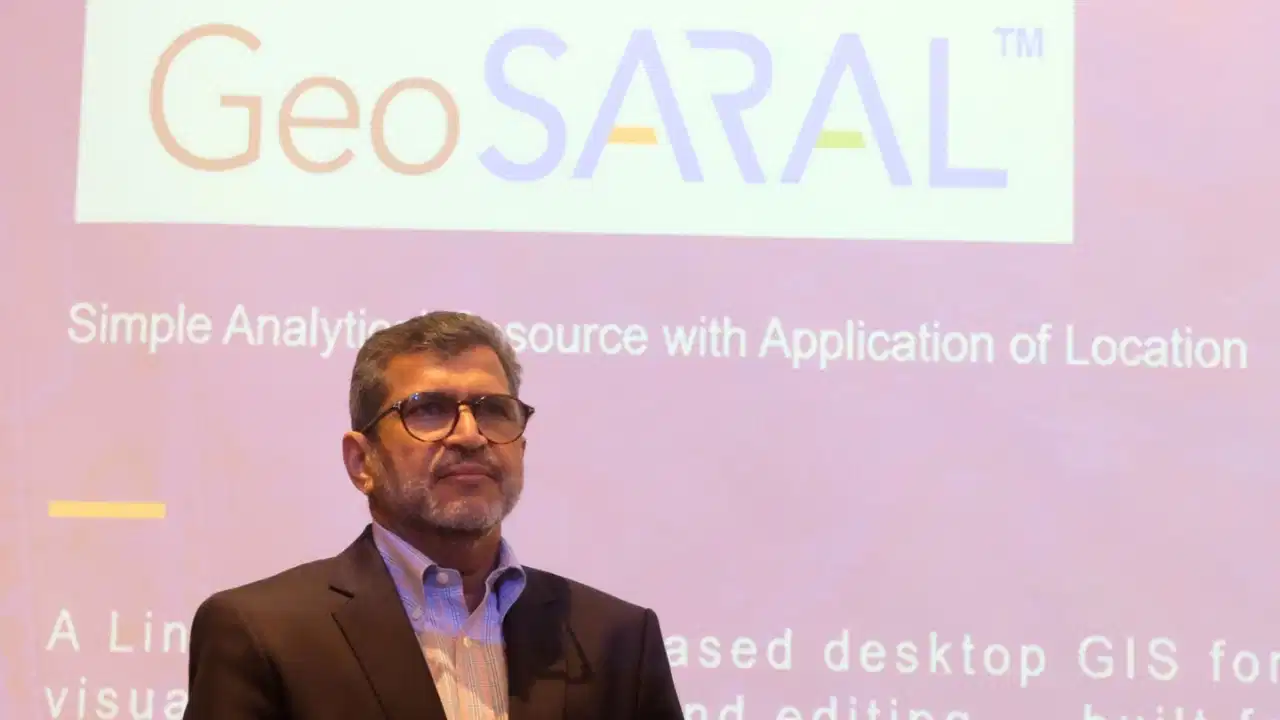
New Delhi: Strengthening India’s growing geospatial ecosystem and pushing toward technological self-reliance, Esri India has officially announced the launch of ‘GeoSARAL’, an indigenous, Linux-based desktop Geographic Information System (GIS) software. Developed entirely by the company’s domestic engineering team, the new platform is designed to provide a lightweight, cost-effective solution for everyday mapping, visualisation, querying, and data-editing tasks.

The software was conceptualised in response to rising demands from Esri India’s extensive enterprise and government customer base for a reliable desktop GIS that runs natively on Linux. While professional geospatial analysts typically rely on ArcGIS Pro for advanced 3D modelling, network analysis, and complex cartography, GeoSARAL is targeted at users whose requirements are centred on fundamental operational tasks.
Speaking about the strategic launch, Agendra Kumar, Managing Director of Esri India, highlighted that the platform marks a significant milestone in the company’s technology journey. “Innovation with customer needs in mind has been at the heart of our technology journey. Initial users of GeoSARAL are very appreciative to have a cost-effective Linux-based desktop GIS software for mapping, visualization, editing, and querying,” Kumar stated.
He further noted that the software works effectively alongside existing ArcGIS environments, allowing organisations with advanced analytical needs to continue utilising ArcGIS Pro while deploying GeoSARAL for simpler, routine workloads.
GeoSARAL seamlessly co-exists with current ArcGIS infrastructure and is capable of leveraging rich geographic content available through the Indo ArcGIS Living Atlas. Designed with enterprise-grade security, the software allows users to view, manage, and analyse local GIS data and basemaps even without active internet connectivity, making it exceptionally useful for field operations and remote regions with limited network access.
While the platform has been primarily engineered for Linux systems to cater to India’s substantial Linux desktop user base, it is also supported on Windows, with dedicated Android support slated for release soon. Industry experts believe that the introduction of indigenous, accessible platforms like GeoSARAL will significantly accelerate the adoption of geospatial technology across critical sectors such as urban governance, infrastructure development, agriculture, defence, utilities, and disaster management.
Comments are closed.