

New Delhi: Affirming its unwavering stance on sovereignty, India has issued a firm clarification regarding the United Nations General Assembly’s recent ‘Correct the Map’ resolution. While New Delhi voted in favour of the initiative, the Ministry of External Affairs (MEA) explicitly stated that the backing of the resolution does not endorse any specific world map or cartographic projection that misrepresents India’s official boundaries, particularly concerning the Union Territories of Jammu and Kashmir and Ladakh.

On September 4, the UN General Assembly adopted the resolution titled “Correct the Map: Rebalancing Global Cartographic Representation and Promoting Equitable Representation of the World’s Regions, Particularly Africa.” The resolution aims to promote the usage of equal-area map projections that accurately depict the true proportionate sizes of continents, aiming to rectify the geographical distortions commonly found in the widely used Mercator projection. The proposal received overwhelming backing, passing with the support of 164 nations, while the United States opposed it, and six countries abstained.
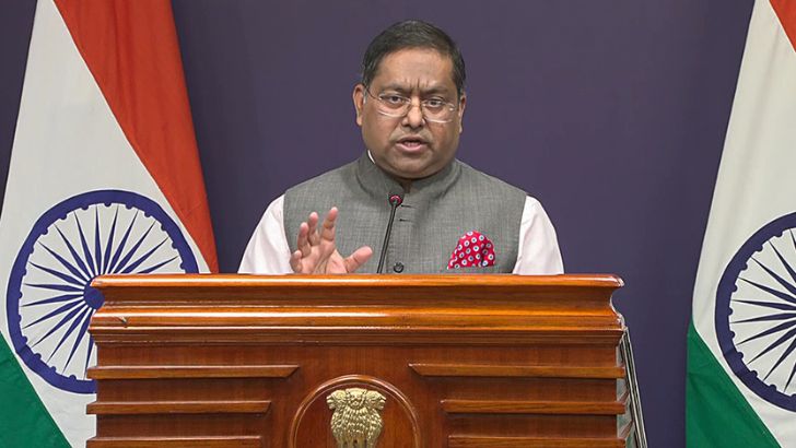
Following the resolution’s adoption, several reports incorrectly suggested that the UN had officially replaced the traditional Mercator projection with a new ‘Equal Earth’ map. Clarifying India’s position, MEA Spokesperson Randhir Jaiswal emphasised that India’s vote was meant strictly to support the fundamental principle of equal-area cartographic representation. He stressed that India did not endorse any specific map, projection, or depiction of national boundaries.
Furthermore, the MEA reiterated India’s uncompromising stance on its territorial integrity. The ministry categorically stated that India’s sovereign territory, including the Union Territories of Jammu and Kashmir and Ladakh, must be accurately represented in accordance with India’s official map. The MEA termed any inaccurate or misleading depictions of the country’s borders as entirely “unacceptable.”
The core of the ‘Correct the Map’ campaign focuses on addressing how the Mercator projection inflates the size of regions farther from the equator compared to their actual landmass. The shift toward equal-area projections is intended to visually represent relative geographical sizes more accurately.
However, India clarified that a change in map projection does not equate to any alteration of international borders. The UN resolution makes no determinations regarding political boundaries, disputed territories, or geographical nomenclature. India’s latest statement serves to underline this crucial distinction, making it clear that its support for cartographic accuracy on a global scale does not leave any room for compromise on the depiction of its sovereign borders.
Comments are closed.