Bhubaneswar: Will the Bay of Bengal see the first cyclonic storm post-monsoon next month? October to December period is among the favourable months for the development of cyclones in the Bay of Bengal (BoB) and the Arabian Sea and these two-and-a-half months are considered the “cyclone season” in Odisha.
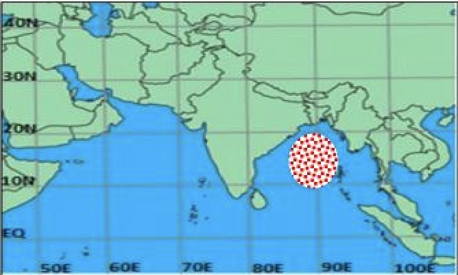
The India Meteorological Department (IMD) in its North Indian Ocean Extended Range Outlook for Cyclogenesis has indicated likely formation of a low pressure area over eastcentral Bay of Bengal and adjoining area during first half of week 2 (29.09.2023-05.10.2023) but with a low probability of cyclogenesis over the same region.
“ECMWF and NCUM models are showing the formation of low pressure area over central BoB with intensification into depression around September 28 and move further west-northwestwards towards north Andhra Pradesh-Odisha coasts during first half of week 2. The NCEP GFS model forecasts indicate that a low pressure area would form over eastcentral-southeast BoB and adjoining Andaman Sea around September 29 which is likely to move west-northwestward and intensify further into a depression over Central BoB and subsequently into a cyclonic storm over westcentral BoB during next 3- 4 days. However, IMD GFS model is not indicating any cyclogenesis over BoB during week 1 (22.09.2023-28.09.2023).”
Senior meteorologist Jason Nicholls has also made similar predictions. “Conditions can become conducive for low & perhaps a cyclone to develop in the Bay of Bengal late next week or during the 1st week of October,” he posted on X.
If this system develops into a cyclone by September 30-October 1, it will be called Tej, a name given by India. While initial reports suggest that the landfall might occur between Andhra Pradesh and Odisha coasts, it’s too early to pin a location before cyclogenisis, sources added.
Comments are closed.